6 of the Best Smartphone Apps for Travel and Landscape Photography
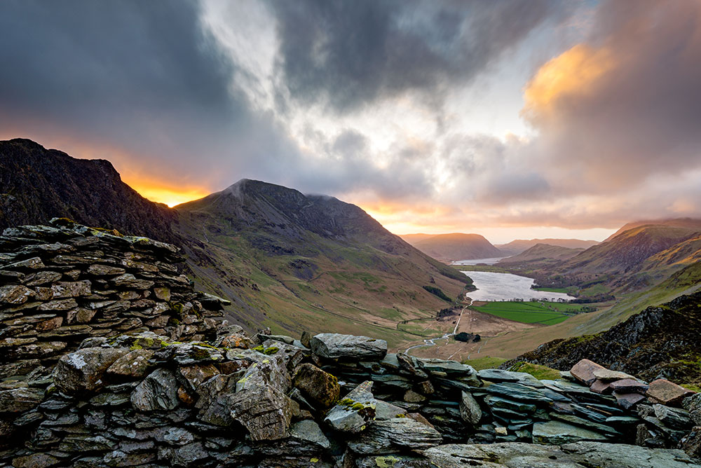
Landscape photography is like going to the casino. You can’t control what cards you get, but by learning the game you can increase your odds of winning.
In photography terms, Smartphone apps are essential tools in the image creation process, right up there with your camera, lens, and tripod. You can literally make the stars align with them.
Here are six Smartphone apps I use to plan out my landscape photo shoots. Use them well, and it won’t be long before you get comments on your photos like this, “You always seem to be in the right place at the right time.”
1 – PhotoPills
PhotoPills is the best photography app on the market. Period. It’s the photographer’s Swiss Army knife. It does so many things. I use it to plan my astrophotography shoots. I can easily figure out the phase of the moon, the location of The Milky Way, where it will rise, how high, at what angle, and at what intensity. The best part is the 3D augmented reality for finding The Milky Way in the sky.
2 – The Photographer’s Ephemeris (TPE)
TPE used to be my go-to app before PhotoPills made it obsolete. The best thing is its simplicity. I mainly use it to track the sun and the moon. But since PhotoPills does that and so much more, I rarely use it now. I still included TPE on the list though because you can use it for free through their “web app”. Just go to their home page and click on TPE for Desktop.
3 – Sun Surveyor
Another app similar to TPE is Sun Surveyor. It’s mainly just for tracking the sun, the moon, and how the light will fall. If English is not your first language, the app has been translated into a number of different languages like Korean, Chinese, Turkish, Czech and many others. With limited features though, I’d probably just use the free desktop version of TPE or buy PhotoPills instead. (Price: $9.99, iOS and Android)

4 – Tide Charts Near Me
If you’re into seascape photography, knowing the level of the tide is essential. Some shots you can only get at low tide or high tide. Tide Charts Near Me is a super simple app with a great graphic interface for showing the height of the tide on any given day or time. There’s also a moon phase calendar included as well. (Price: Free for iOS & Android)
5 – Maps.me
The most important thing of all is being able to make it to and from your shoot location. Google Maps and Apple Maps are decent. But the problem is that you need to use data to access those maps, which can be costly if you’re traveling internationally.
Also, if you’re in an area with no cell phone service then your map app won’t work. Yes, you can use Google maps offline but you have to download each individual location first.
